
Google Earth view (7°58'55.90"N, 98°34'12.53"E)

Photo of house with blue roof near the center of image above
I didn't realize that Phuket was ~8°N latitude. No wonder it was so hot. If you look in Google Earth, you'd realize that the island is in the middle of nowhere; it took us about an hour by boat to reach the island. During the boat ride, in the middle of the ocean/bay, I had full signal strength on my Treo and even received a couple of emails. Of course, I get dropped all the time driving on the freeway in SoCal.

Google Earth view of a beach on the south end of the island

Photo of the beach houses taken from the end of the pier. The water was warm and very clear.
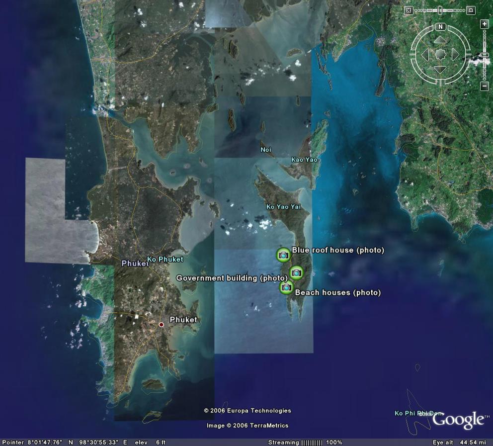
A zoomed-out Google Earth view of the area. Ko Yao Yai is off the east coast of Phuket.

1 comment:
SWEET! We want to go back to Phuket and spend some time on the smaller islands -- maybe up to the Similian Islands . . .
Post a Comment